Maxar Discover Next
The Context
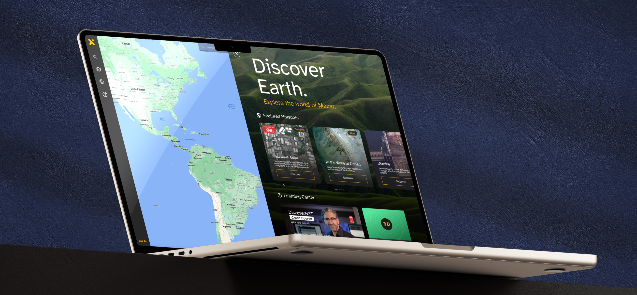
Maxar is a geospatial intelligence company that delivers secure, precise data to help governments and businesses monitor Earth’s changes. To expand into the regular user segment, Maxar developed “Discover Next,” a platform designed to make purchasing satellite imagery easy and intuitive for a general audience, including colleges and private users.
The Problem
The challenge was to design a user-friendly platform without compromising the performance and advanced capabilities of the professional version. Our goal was to make the platform feel familiar and intuitive, even for first-time users. It needed to offer advanced functionality while maintaining an approachable and seamless user experience.
Since this was a new space for us, we conducted extensive meetings with stakeholders and real users to understand their needs, gain insights into the industry, and build empathy with their challenges.
Research, Empathy Map & Low-Fi Wireframes
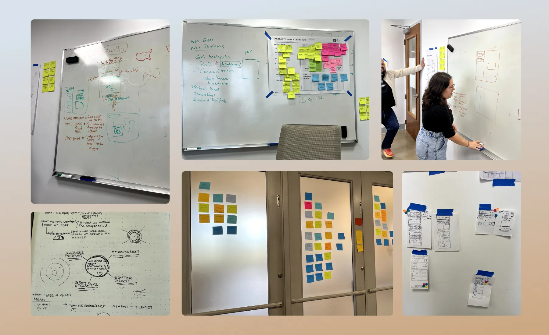
We began by brainstorming and sketching ideas, drawing significant inspiration from Google Maps and other mapping applications to ensure the platform would be intuitive and widely adaptable. This process included creating user journeys and empathy maps to better understand the needs of potential users. We focused on building empathy with users, considering their experience as they searched for specific satellite images of particular locations for personal use.
Mid-Fi Wireframes
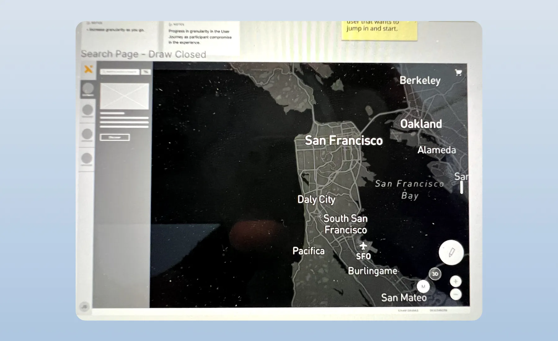
The goal was to develop a clear understanding of the layout and functionality of the platform. This was challenging due to the many moving parts involved. We conducted extensive research and held numerous meetings with stakeholders to deeply understand their needs and translate these insights into a well-designed, user-friendly app.
Final Design
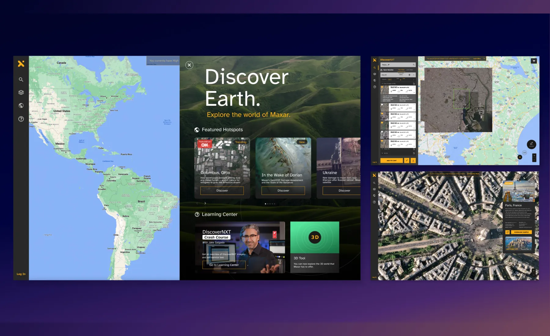
For the final design, we aimed to provide seamless navigation by keeping all essential menus visible at all times for easy access. We also introduced a feature screen, which users can close at any time, showcasing “feature hotspots” and a learning center. This helps new users quickly learn how to navigate the system without feeling overwhelmed. Additionally, we designed an intuitive way to display and compare satellite imagery, making it easier for users to select the best option quickly. Finally, we developed a streamlined checkout flow, allowing users to purchase their selected images effortlessly.